
‘Best form of transport’: New walking map of Hackney Central celebrates borough’s ‘fascinating and diverse’ history

The printed map can be picked up at Hackney Museum and Hackney Central Library. Photograph: courtesy Footways
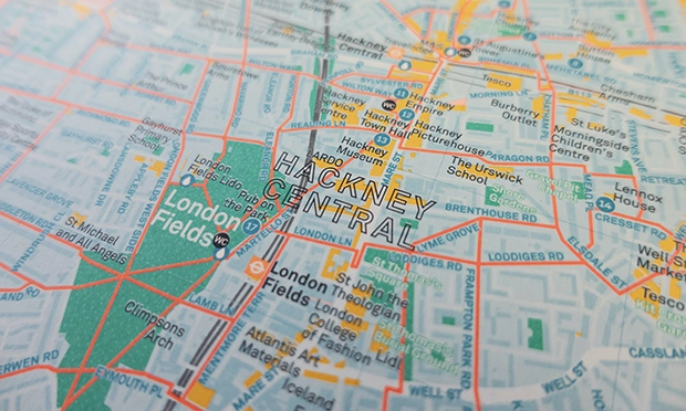
A “fantastic” new map has plotted the best walks in Hackney Central – marking out the quiet havens and historical landmarks that can be taken in along each route.
Hackney Central Footways, available for free both online and in print, is designed to encourage people to soak in the borough at a more leisurely pace, boosting their health and creating livelier streets as they do.
The map, funded by Hackney Council and developed by social enterprise Footways, is a collaborative effort involving local guides, community groups, campaigners and historians.
Emma Griffin, co-founder of Footways, said: “As a Hackney resident, this project has been close to my heart. We’ve learned so much talking to groups and historians about local history, and are delighted to share this knowledge on our new Footways map.
“The features bring our routes to life, demonstrating that walking is the best form of transport for experiencing an area. We hope the local community will continue to send in ideas, so we can create a living archive of the area’s culture and history.”
In addition to promoting healthy and sustainable transport, the map celebrates the borough’s heritage, culture, services, and businesses.
Local people, groups, and organisations are encouraged to share additional features for the digital map in the hope that it will become a long-term resource for the community.
Hackney Central Footways is designed to encourage people to walk. Photograph: courtesy Footways
Sean Gubbins of Walk Hackney said: “This map is fantastic, highlighting various features which bear witness to Hackney’s fascinating, diverse history.
“Built on rising ground above a brook survives the mediaeval St Augustine’s Tower: the oldest structure in London north of the Tower of London. From there, follow Footways to Clissold Park to enjoy a glimpse of the 400-year old New River. Or take an ancient footway down the Narrow Way, Sylvester Path, London Fields, Broadway Market, Goldsmith’s Row to Hackney City Farm: once the site of a local mediaeval manor, later a brewery, part of a network of streets which once covered today’s Haggerston Park.”
The digital version of the map is interactive and has geolocation, while the printed version, which can be picked up at Hackney Museum and Hackney Central Library, features illustrations by acclaimed local artist Jane Smith.
The project is funded by the Town Hall’s Hackney Central Impact and Ideas Fund, which aims to improve the town centre and help local businesses shape its future.
Rosa Sulley, project lead at economic development consultancy PRD, which has been working with the council, said: “We know the enormous benefits that walking can bring to health and wellbeing.
In lockdown we saw more people walking around their local neighbourhoods and discovering the heritage, culture and green spaces right on their doorsteps.
“We were very excited by Footways’ original application to the fund as celebrating Hackney Central, supporting healthy lives and boosting local footfall was at the heart of what the fund was about.”
Cllr Mete Coban, the Town Hall’s transport and environment chief, added: “Walking is a great way to get around in Hackney so we’re delighted to have helped to fund this new walking map, which showcases all the fantastic routes and cultural and historic landmarks to discover in the borough.”
Free copies of the printed map can be picked up from Hackney Museum and Hackney Central Library, Reading Lane, E8 1GQ.
The digital map is available online at footways.london/hackney along with more information about the network and distribution locations.