
From reservoirs left to nature to ghost platforms – take a walk through East London’s industrial past
April is a great time to explore the rich industrial archaeology heritage that London has to offer.
The Lea Valley has long been London’s manufacturing epicentre, and it still bears many marks of its past. Most obvious are the warehouses – functioning and converted – that line its banks. Less evident to the casual visitor are those things that have fallen into disuse.
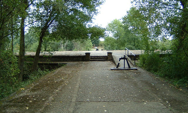
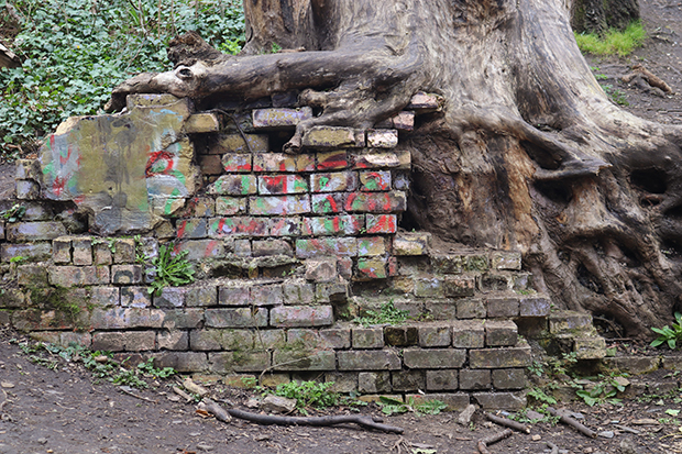
A good place to kick off an exploration is the Middlesex Filter Beds just opposite the Lea Bridge roundabout. Now a nature reserve, the site was developed in 1852-53 by the East London Waterworks Company to provide safe drinking water for the area, a function it served until its closure in 1969. Still visible are a range of pumps, sluices and railway lines through which water was cleaned and transported.
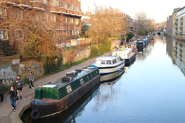
Until relatively recently, waterways were the main means through which goods circulated. Running roughly perpendicular to the Lea are the Grand Union and Regents canals, vital arteries that linked the Thames and to north and east London and beyond. At its height, Regent’s Canal carried two million tonnes of freight a year, including many raw materials used in manufacturing. The canals were also ways of life for those who lived on their banks, and intricate social ecosystems formed around the various occupations connected with boats, horses and freight. Towpaths and locks are the most obvious contemporary remnants of former canal life, but many canal boats themselves have also been transformed for modern usage. Nineteenth and early twentieth century watercraft from Dutch tjalks to Thames lighters even the odd submarine are now refitted as homes shops and restaurants.
Over the course of the second half of the nineteenth century, the railways gradually began to displace rivers and canals as means of transport. Though London remains connected by a dense network of railways lines, not all survived the rise of road transport in the post-war period.
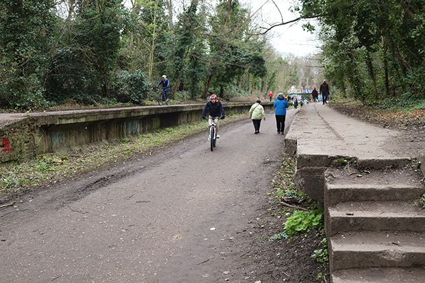
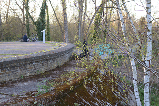
The Parkland Walk that runs from Finsbury Park in the south-east through Hornsey and Crouch end to Alexandra Palace in the northwest traces the line of the former Edgware, Highgate and London Railway that was constructed in 1873 and closed in 1954. The railway bed runs flat, cutting through hillsides with massive brick walls and hovering high above street level on raised beds. Ghost platforms can still be seen along the side of the track where commuters once waited at stations.
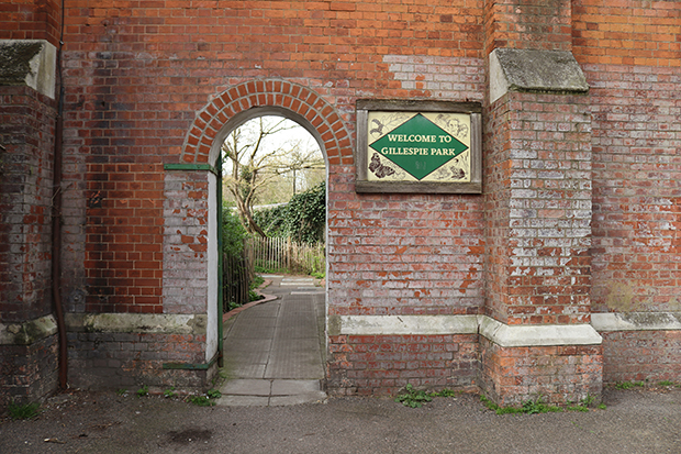
Just the other side of Finsbury Park from the southern end of the Parkland Walk lies the site of a former factory, now Gillespie Park. This little slip of land tucked between the railway line and the former Arsenal stadium is unexpectedly bucolic (think wildflower fields, hedgerows and stiles), but between the 1890s and the 1960s it housed the factory that manufactured Stephens Ink, which was allegedly used to sign the Treaty of Versailles in 1919. You can still see part of the factory wall and entrance to the right of Arsenal Tube station.
On 15 April Rob Smith will be leading a guided tour of the Middlesex Filter Beds and other Clapton sites, followed by an Industrial History of the Lower Lea on 30 April: footprintsoflondon.com/walkingtours